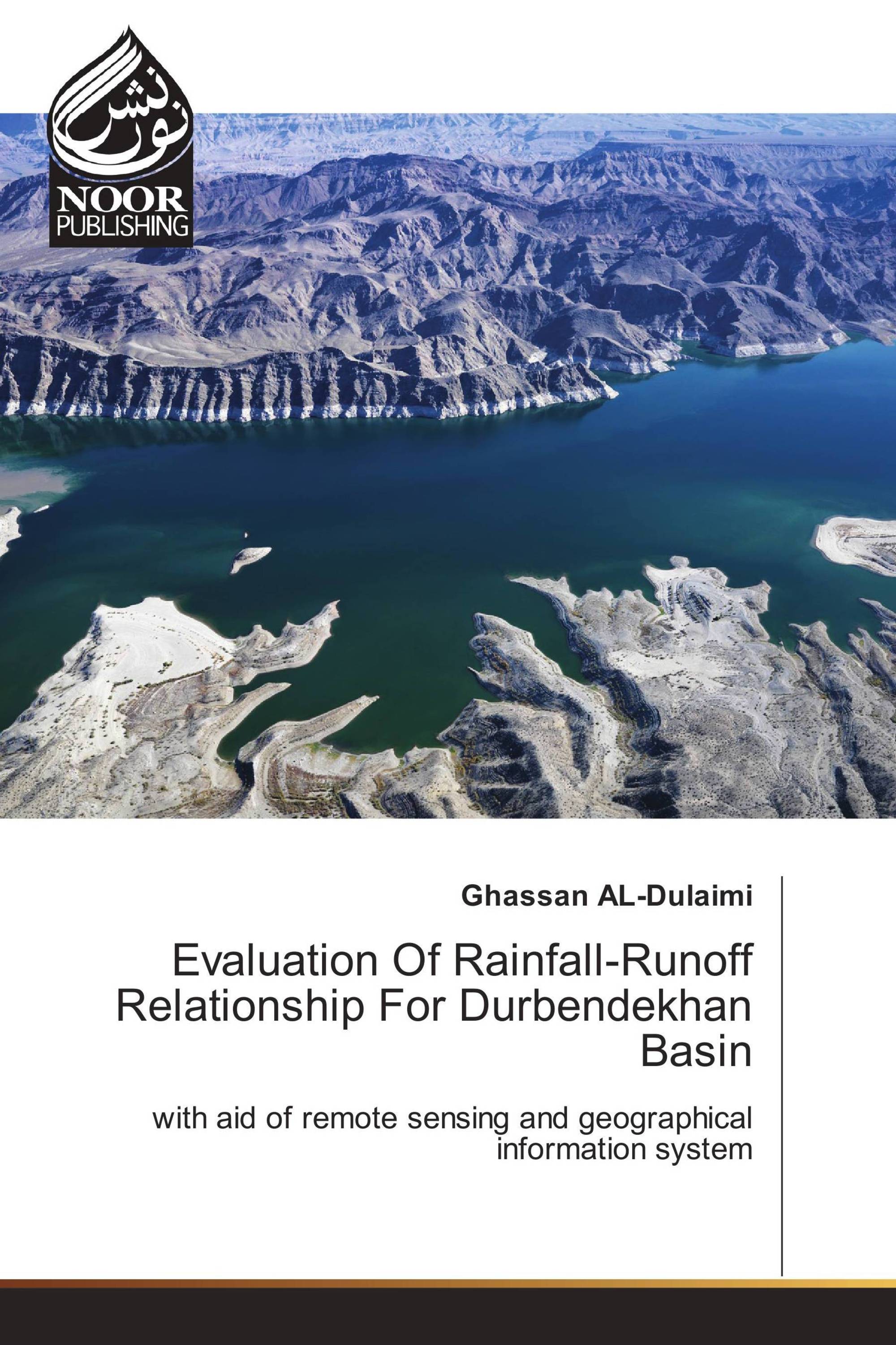
Evaluation Of Rainfall-Runoff Relationship For Durbendekhan Basin
with aid of remote sensing and geographical information system
Noor Publishing ( 11.01.2017 )
€ 55,90
Knowledge of total runoff due to rainfall is most important for protecting any existing hydraulic structure and designing any new one. Direct measurement of runoff is the accurate way of measurement but in most it is not possible at desired time and location, thus use of hydrological model for estimating runoff depth has become increasingly popular. Ungaged basins pose a challenge to hydrological studies as they lack both calibration and validation data for the use of land surface models. Therefore, satellite data are recommended to be used to describe the aspects/attributes of the basin for a hydrological perspective. A large ungaged catchment area (Durbendekhan Basin) of (3800) with elevation range from 300 to 2000 masl, which is located in the north-eastern part of Iraq within AL-Sulymaniah governorate (Kurdistan region), extends between (35°-00´ to 35°-45´ Northern Latitude) and(46°-00´ to °45-00´ Eastern Longitude) ,have been selected to obtain a relation between rainfall and runoff, since the basin have a major effect on Dyiala River system.
تفاصيل الكتاب: |
|
|
ISBN-13: |
978-3-330-80275-9 |
|
ISBN-10: |
3330802758 |
|
EAN: |
9783330802759 |
|
لغة الكتاب: |
English |
|
By (author) : |
Ghassan AL-Dulaimi |
|
عدد الصفحات: |
140 |
|
النشر في: |
11.01.2017 |
|
الصنف: |
Other |
