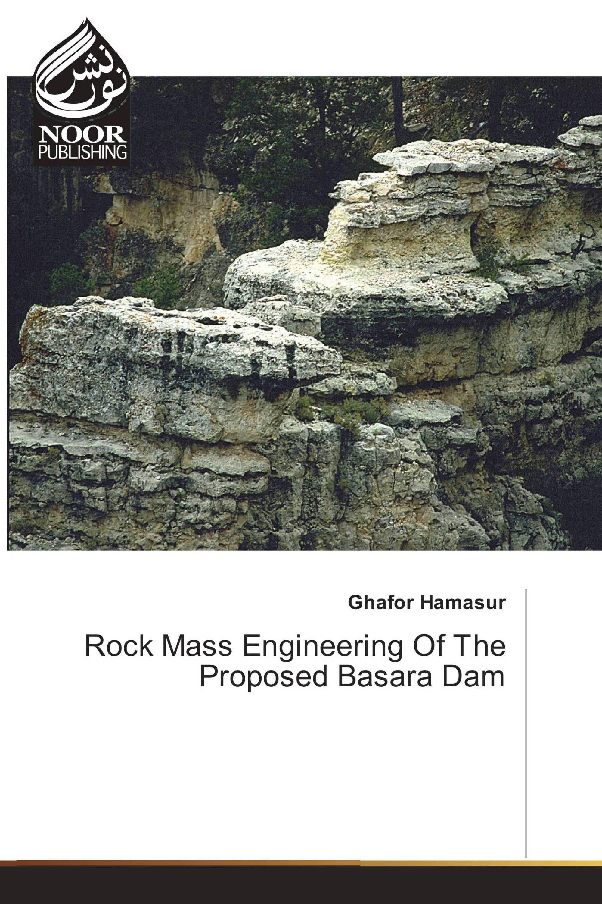
A rock mass engineering of the proposed Basara dam site, near Delaizha village – Sulaimani district – Kurdistan region – NE Iraq is accomplished, where Kolosh, Sinjar and Gercus Formations are exposed. Most parts of the dam reservoir are located within a synclinal structure (New Sola – Qazanqaya syncline). A geological map of the study area is prepared for the first time on a scale of 1:20000. This study proposes a new Geological Strength Index chart, based on quantitative analysis of the rock mass structure (through volumetric joint count “Jv” or block volume “Vb”) and surface conditions of discontinuities. The Geological Strength Index “GSI“ values of strong carbonate rocks of dam foundation rocks were determined by this new chart which range between 55 - 81, the comparison of GSI value from this chart with RMR(1976) value, illustrated the high precision of the chart. The GSI values of clastic Gercus and Kolosh Formations were determined by Molasse and Flysch charts respectively, in which of Molasse Gercus Formation is 33 and of Flysch Kolosh Formation range between 30 – 57. The mechanical properties of all rock mass units were determined by Hoek –Brown failure criterion.
تفاصيل الكتاب: |
|
|
ISBN-13: |
978-3-330-97195-0 |
|
ISBN-10: |
3330971959 |
|
EAN: |
9783330971950 |
|
لغة الكتاب: |
English |
|
By (author) : |
Ghafor Hamasur |
|
عدد الصفحات: |
212 |
|
النشر في: |
22.06.2017 |
|
الصنف: |
Education, Occupation, Career |
